Arctic blast ends New York snow drought, brings record cold to West
Jan 17, 2024
New York [US], January 17: Millions of Americans awoke to snow, freezing rain and frigid temperatures as an Arctic blast gripped much of the United States.
Ending a nearly two-year "snow drought" in New York City and putting much of the West into a deep freeze.
Record-breaking cold was expected across the Rocky Mountains, Great Plains and Midwest, with wind chills below minus 30 degrees Fahrenheit (minus 34 degrees Celsius) reaching the mid-Mississippi Valley in the morning.
The lowest temperature in the country on Tuesday morning was -36 F (-38 C) in the small Colorado town of Briggsdale, population 134.
"That's crazy," Katie Sizemore, a barista at the Blue Mug Coffee Bar in Greeley, Colorado, said when told she was near the coldest spot in America.
Greeley, about 30 miles (50 km) south of Briggsdale, was about 13 degrees warmer than its neighbor to the north, but Sizemore said the locals were nonetheless bracing for the cold by dressing in extra layers and cranking up heaters.
"We don't go outside for very long," she said.
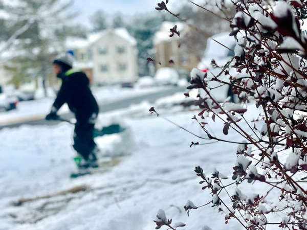
In New York City, which had not received more than an inch (2.5 cm) of snow in almost two years, residents woke up to see a winter wonderland outside their windows. Manhattan's Central Park was covered by 1.4 inches (3.6 cm) as of Tuesday morning, ending a "snow drought" of 701 days without more than a dusting.
"The streak has ended!" the National Weather Service's New York office posted on Facebook, prompting users to comment on what most saw as a welcome surprise.
Overnight, 4 to 5 inches (10 to 13 cm) of powder painted Washington, D.C., white, while 2 to 3 inches (5 to 8 cm) fell in Baltimore and Philadelphia.
An additional 2 to 4 inches (5 to 10 cm) were expected throughout New England, extending into New York state, before a brief midweek reprieve from the frigid weather, the weather service said.
Buffalo, New York, received 1 to 3 feet (30 to 91 cm) of snow overnight on top of 3 feet that fell over the weekend. The weather service issued a "lake effect" snow warning on Tuesday for much of western New York that will remain in effect until Thursday evening.
Such snowfall is typical of western New York in the winter, when the unfrozen waters of the Great Lakes mix with icy air in the upper atmosphere, forming clouds that rapidly produce snow, according to the weather service.
Snow also blanketed the Appalachians and Western North Carolina, with Southern states experiencing unusual cold snaps, according to Bob Oravec of the weather service's Weather Prediction Center in College Park, Maryland.
Nashville, Tennessee, "which doesn't see a lot of heavy snow," received 6 to 8 inches (15 to 20 cm), Oravec said. Residents of Mobile, Alabama - in the heart of the Deep South - woke up to freezing rain and a rare 31 F (-0.5 C).
Nationwide, at least five people have died as a result of the weather since the weekend, including two from hypothermia in recent days in Oregon, local media reported.
A series of major power outages this weekend were mostly fixed, but more than 50,000 customers were without electricity in Oregon on Tuesday morning. Tens of thousands were in the dark in Lousiana, Texas, and Alabama, according to data from PowerOutage.us.
The operator of the Texas power grid asked the state's residents to conserve electricity on Tuesday morning due to high demand amid the winter storm.
More than 3,000 flights into, out of, or within the United States were canceled or delayed, with Houston's George Bush Intercontinental Airport and New York's LaGuardia Airport experiencing some of the worst disruptions, according to flight-tracking website FlightAware.com.
Source: Fijian Broadcasting Cooperation

